
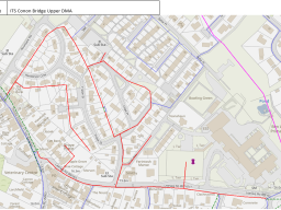
CONON BRIDGE COMMUNITY COUNCIL
CONON BRIDGE COMMUNITY COUNCIL
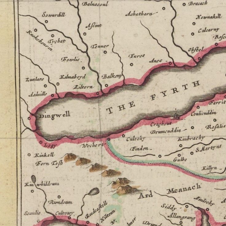
The National Library of Scotland hold thousand of old maps of Scotland. The earliest map mentioning the River Conon is shown to the left. The Map was produced in 1662-5, an extract from the Blaeu Atlas Major - no mention of Conon Bridge.
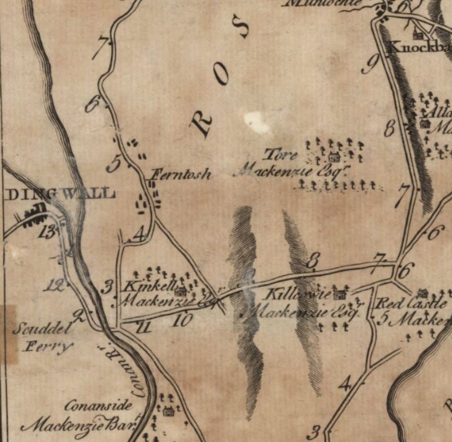
The Map above was produced by G Taylor and A Skinner's Survey and maps of the roads of North Britain or Scotland in 1776 (nls.uk). The Scuddel Ferry is highlighted but there is still no settlement beside the River.
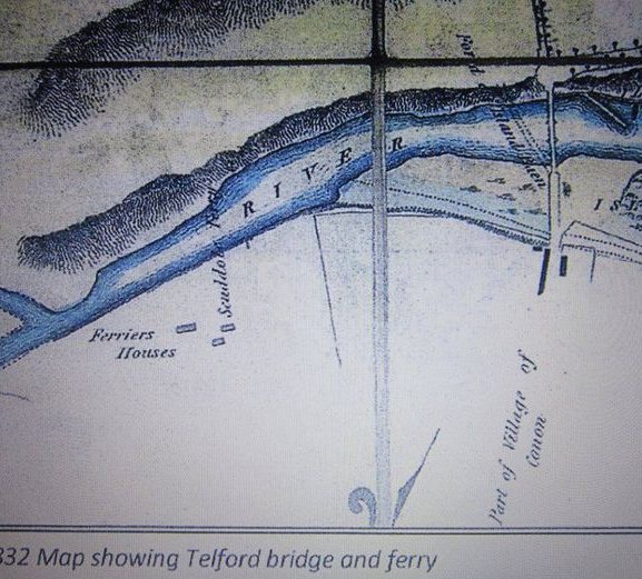
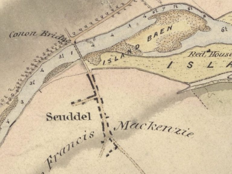
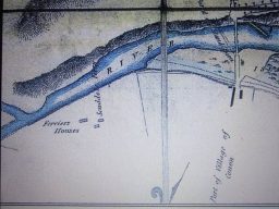

The map shown is, by Robert Stevenson, was produced in 1837. The site of the Village is named as Scuddel, with the Bridge being called Conon Bridge.
In C. Wilson's 1863 map, Conon Bridge is depicted as a small hamlet with just a few houses situated southeast of the River.
TEXT STILL TO BE WRITTEN
©Copyright. All rights reserved.
We need your consent to load the translations
We use a third-party service to translate the website content that may collect data about your activity. Please review the details in the privacy policy and accept the service to view the translations.